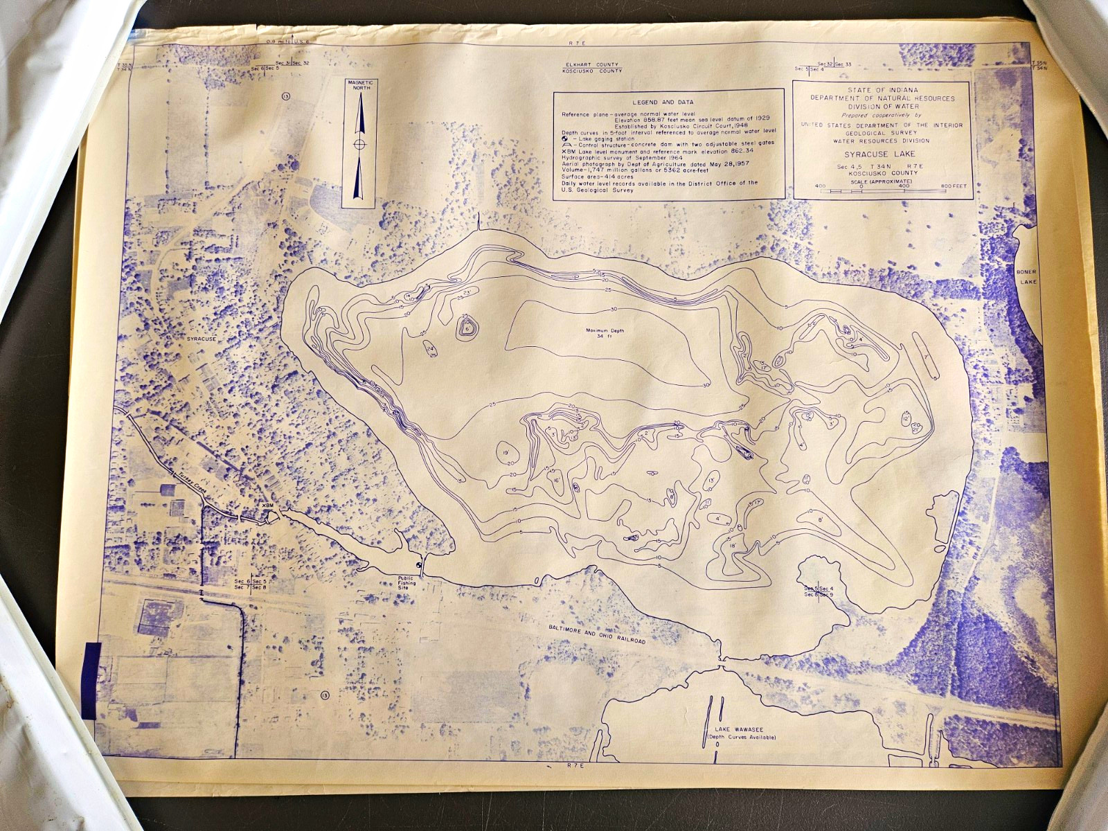
Vintage Syracuse Lake Indiana Hydrographic Survey Map – 1964 – 18 × 24 InchesOffered for sale is a historical hydrographic survey map of Syracuse Lake in Kosciusko County, Indiana. The map features a September 1964 lake survey and combines historical aerial photography with detailed underwater depth contours.Produced through the State of Indiana Department of Natural Resources, Division of Water, in cooperation with the United States Geological Survey, Water Resources Division, this map documents Syracuse Lake and its surrounding landscape during the mid-1960s.Map Details- Lake: Syracuse Lake
- Location: Kosciusko County, Indiana
- Hydrographic survey: September 1964
- Aerial photography: May 28, 1957
- Size: Approximately 18 × 24 inches
- Lake surface area: 414 acres
- Lake volume: Approximately 1,747 million gallons
- Depth contours: 5-foot intervals
- Printing: Blue-purple imagery and markings on lightweight paperHistorical SignificanceThis map provides a detailed historical view of Syracuse Lake, including its shoreline, surrounding roads, land development, and underwater topography. It is particularly interesting for comparing the lake and surrounding community as they appeared in the 1950s and 1960s with the present day.It would make an attractive historical display for a Syracuse Lake cottage, lakefront home, office, or collection of Indiana maps and memorabilia.ConditionPreviously owned paper map showing age-related handling and storage wear. Please examine all photographs for the condition of the paper, including folds, wrinkles, edge wear, discoloration, and any other imperfections.The map has not been professionally restored or mounted.The photographs show the actual map you will receive.

Related Items:

Vintage 1964-1965 Schrade-Walden 15OT Deerslayer Fixed Blade Knife Pat Pend USA
$60.00

Vintage 1965-66 Vietnam War Saigon Paratrooper Souvenir Chore Jacket Large Xl
$589.97

VINTAGE 1965 (Reusable in 2027) Calendar Printed Linen Tea Towel
$20.00