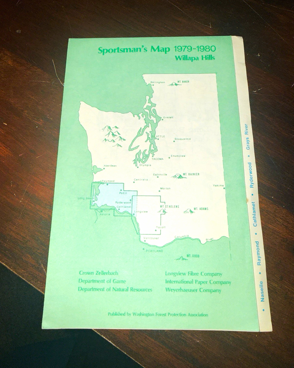
Vintage 1979–1980 Sportsman’s Map of the Willapa Hills, published by the Washington Forest Protection Association.Large fold-out map covering portions of southwest Washington, including the Willapa Hills region and areas around Raymond, Naselle, Cathlamet, Grays River, Ryderwood, Longview and surrounding timberlands. Features detailed roads, waterways, township/range information, land access areas, hunting information, fire-reporting information and forest land boundaries.Includes references to major timber and land organizations including Weyerhaeuser Company, International Paper Company, Longview Fibre Company, Crown Zellerbach, Washington Department of Natural Resources and Department of Game.Vintage used condition with original fold lines, light toning, minor handling wear and small age-related marks as pictured. Appears complete with no major tears visible. Please review all photos for exact condition.

Related Items:
1979-1980 Sportsman’s Map St Helens West Washington Mt St Helens WFPA Vintage
$14.99
1979-1980 Sportsman’s Map Willapa Hills Washington Logging Hunting WFPA Vintage
$14.99