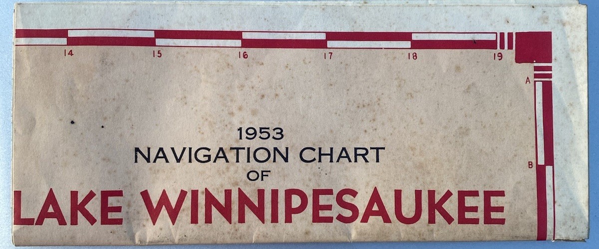
Original 1953 Navigation Chart of Lake Winnipesaukee, New Hampshire, retaining its original printed folding sleeve.
Prepared and published by the New Hampshire Public Utilities Commission and the New Hampshire State Planning and Development Commission, and distributed by the Lakes Region Association.
The detailed chart identifies islands, towns, roads, water depths, navigation routes, buoys and flashing lights, boat facilities, gas pumps, seaplane landing strips, fishing information and other features surrounding Lake Winnipesaukee.
A scarce early Lakes Region boating chart and an excellent piece of New Hampshire ephemera.
Original fold lines throughout with age-related toning, foxing, handling wear and minor edge wear. Original sleeve also shows age and wear. Please see all photographs for condition.

Related Items:
1953 Lake Winnipesaukee NH Navigation Chart Map Original Sleeve Vintage Nautical
$250.00
1953-1954 Zippo Colorful Colorado Mountain Lake Chrome Windproof Lighter Vintage
$113.99

1953 Lake Pillsbury Resort CA Postcard Potter Valley Boating Mike
$45.00