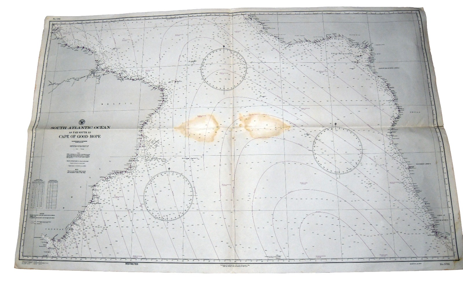
Large WWII-era U.S. Navy nautical chart titled“South Atlantic Ocean —As Far South as Cape of Good Hope.”The chart covers the South Atlantic between the eastern coast of South America and western Africa.It includes Brazil, Uruguay, the Gulf of Guinea, Angola, Southwest Africa, and the Union of South Africa.
Detailed features include coastal locations, soundings in fathoms, navigational lines, compass roses, latitude and longitude markings, and other maritime information.The chart is marked “RESTRICTED” and includes the statement,“This is a preliminary chart to meet the immediate needsof the Fleet,” making it an interesting piece of wartime naval and maritime history.Approximate size: 50" x 33".Condition: Significant age-related discoloration and staining, particularly through the center. Also shows original folds, creasing, wrinkles, edge wear, small tears, and minor edge losses. Unframed. Please examine all photographs carefully, as they form an important part of the condition description.An impressive oversized display piece for a nautical collection, naval-history collection, map room, office, library, or maritime-themed interior.
approx. 50" x 33"Will be shipped folded
Please check the pictures - what you see is what you get.
Ask any questions before offerding/buying. THANK YOU! We combine shipping

Related Items:

Enger-Kress NOS WWII US Original M3 Leather Shoulder Holster Field Gear
$120.00
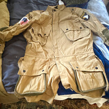
WWII US army 101st paratrooper “easy company” reproduction uniform. With helmet.
$200.00

WWII US M1910 T-HANDLE ENTRENCHING SHOVEL
$71.96