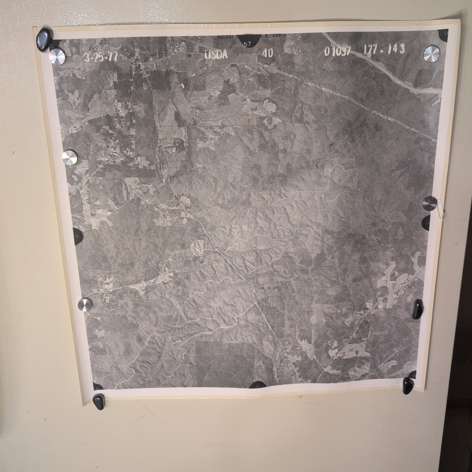
This vintage aerial survey photograph features a high-altitude view of Coosa County, Alabama, captured for the U.S. Department of Agriculture Soil Conservation Service. Dated March 25, 1977, the black and white image provides a detailed historical record of the regional landscape, including topography, vegetation, and rural infrastructure.
27 Maps total, shown are representative examples. Each map is 24" × 24" with reinforced edges. Can be tiled together. Reverse side has hand marked properties of significance notated.
- Authentic USDA Soil Conservation Service aerial survey print
- Location: Coosa County, Alabama (Rockford area)
- Date: March 25, 1977
- Scale: 1 inch = 1320 feet (1 mile = 4 inches)
- Condition: VG
- Features original identification stamps and handwritten notations on the reverse
Secure packaging and fast shipping.
Keywords: vintage map, aerial photography, coosa county alabama, usda history, cartography, 1970s decor, soil conservation, topography, historical documents, black and white print
Check out all of our similar items!

Related Items:

Vintage 1977 Topps Star Wars Artoo-Detoo Sticker Card 6 R2-D2 Non-Sport Card
$16.53
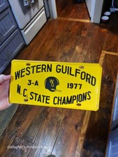
Vintage 1977 Western Guilford HS Greensboro NC State Champions Booster Plate
$189.00

Vintage 1977 Star Wars Guerra De Las Galaxias Mexico Empty Display Box **READ**
$599.99